What is the Pier Cove Ravine?
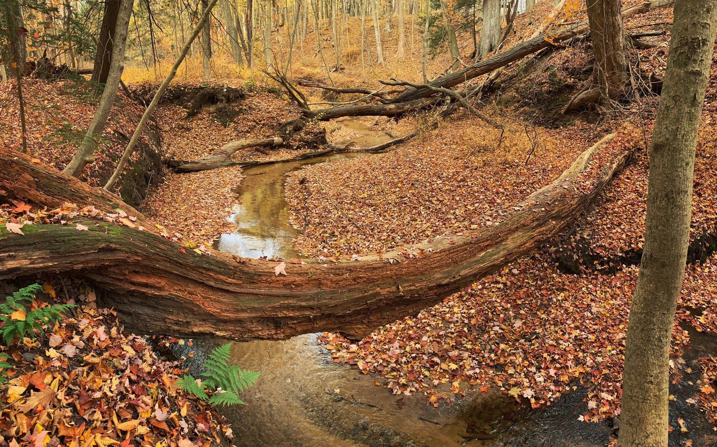
The Pier Cove Ravine is an area of land approximately 70 acres in size nestled between Lake Michigan on the West, 123rd Avenue on the North, and Interstate 196 on the East. The southern boundary lies 2632.5 feet south of 123rd Avenue. This “L” shaped plot of land has developed from a wide-open area of blow sand, to the heavily forested acreage of today. The quaint Pier Cove Creek that meanders its way through the sand and clay finds its origin East of the old U.S. 31 Highway as it permeates from the soil as a spring. Actually, three separate tributaries meld together to form the final flow that seeks its way into Lake Michigan.
The pond, the dam, the grist mill, and the small boats are all memories of the past or earlier days in the life of our ravine; but the peaceful beauty of this place has not diminished with time.
“I wish that all the children of the present day, as well as their fathers and mothers could have some place to go where they could sit quietly and enjoy nature, or where they could romp about and play on the grass, or go in wading or swimming; a place where they could become acquainted with the shapes of all the leaves and their habits of growth; with the perfume of the linden and lilac, with the songs of the thrushes and cat-birds, and with the motions of the chipmunk, and, I in short, all the charms of the country.”
Ossian Cole Simonds, Arboretum’s Landscape Gardener (1909)
Dedicated to:
Mr. O. C. Simonds whose foresight and effort created The Pier Cove Ravine.